
sold
CHRISTOPHER SAXTON'S 16TH CENTURY MAPS: THE COUNTIES OF ENGLAND & WALES
by Christopher Saxton; William Ravenhill
Illustrated by Christopher Saxton
Published by Chatsworth. 1st. 1992
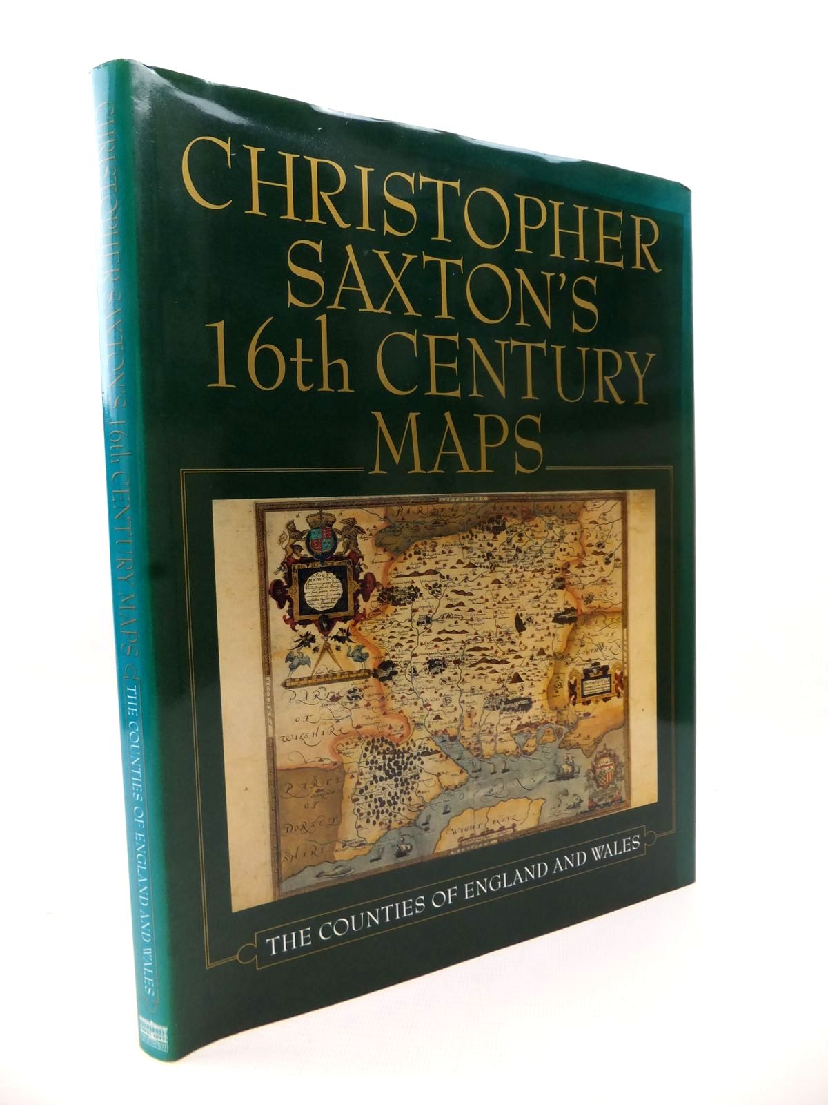
Fine condition in a very good dustwrapper. Christopher Saxton was responsible for producing the first printed Atlas of the English and Welsh counties which, when published in 1579, was the first uniform national atlas to appear for any country. The original set of maps from which this edition is prepared is held in the Library at Chatsworth House, Derbyshire. Introduction by William Ravenhill. Large format. Green boards, gilt title to spine. Colour maps throughout.
Green dustwrapper is unevenly faded at edges.
ISBN: 1853103543
Stock no. 1813188
- Categorised in:
- HISTORY
- HISTORY (BRITISH)
- MAPS
- TOPOGRAPHY (UK GENERAL)
Sorry this book has been sold
(03/07/2018)
Enquire about this book
Create want