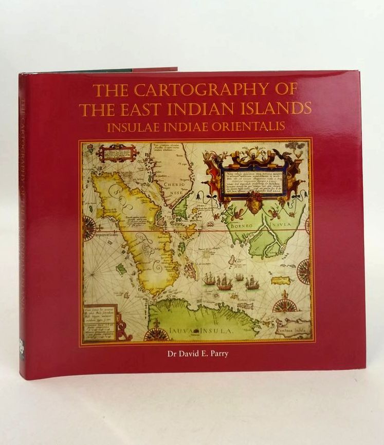
THE CARTOGRAPHY OF THE EAST INDIAN ISLANDS: INSULAE INDIAE ORIENTALIS
Written by David E. Parry
Published by Countrywide Editions Ltd
in 2005
ISBN: 9780955170119
- Categorised in:
- HISTORY
- HISTORY (FOREIGN)
- ASIA
- INDONESIA
- CARTOGRAPHY
- MAPS
THE CARTOGRAPHY OF THE EAST INDIAN ISLANDS: INSULAE INDIAE ORIENTALIS
Written by David E. Parry.
Stock no. 1826884
1st.
2005.
Hardback.
Large format.
Slightly better than very good condition in a slightly better than very good dustwrapper.
A guide to the cartographic history and maps of Insulae Indiae Orientalis or the East Indian Islands as the area came to be known for over three hundred years: the world's largest archipelao and the home of the fabled spice islands of the Moluccas. Large oblong format. Green cloth boards, gilt titles. Colour illustrations. ISBN: 9780955170119. Some foxing to text block else contents clean. Red pictorial dustwrapper is lightly scuffed.


 View more images