
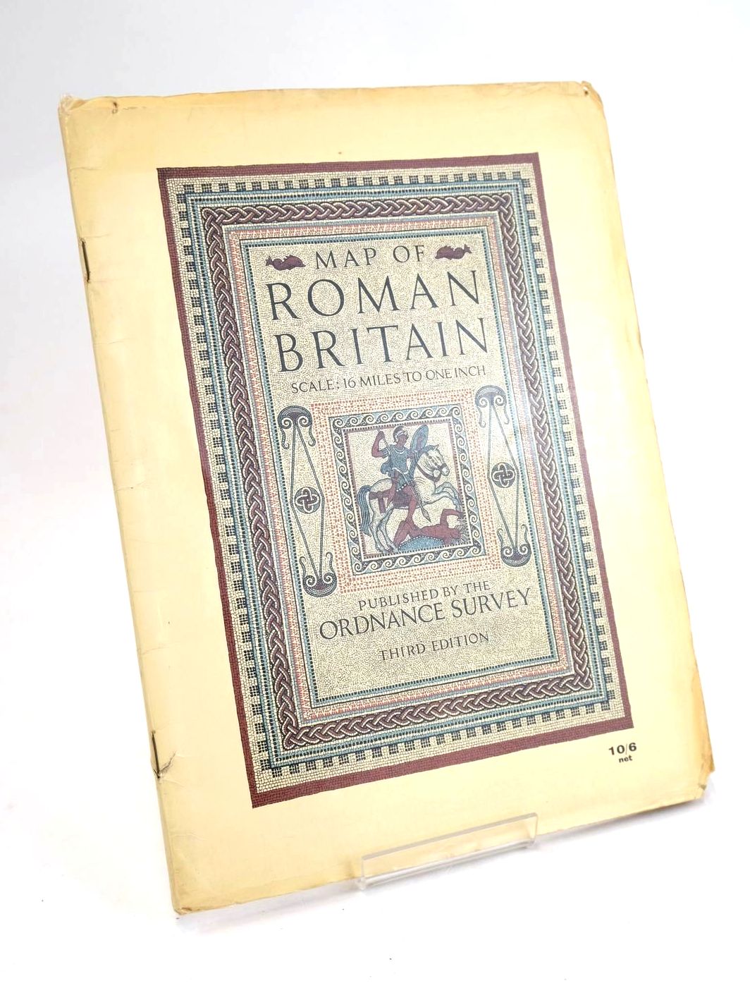
MAP OF ROMAN BRITAIN
Published by Ordnance Survey. 3rd. 1956
Almost very good condition. Card wraps. Third Edition. 43 pages with folding colour map to rear. Scale: 16 miles to one inch.
Covers lightly browned, edge-worn, small closed tear to front spine edge, a little loss to lower front corner. Name in ink crossed out to top of title page. Top corner of page 43 torn away and a little of the lower corner of same page (not affecting text). Blank verso of page 43 is spattered with different coloured paint spots and a grubby mark. Verso of map is grubby, map is a little browned especially on folds, lower half of map is grubby and has a few paint splashes near the Bristol Channel. Still a tidy working copy.
Stock no. 1829411
- Categorised in:
- TOPOGRAPHY (UK GENERAL)
- MAP
- HISTORY
- HISTORY (BRITISH)
- ROMAN