
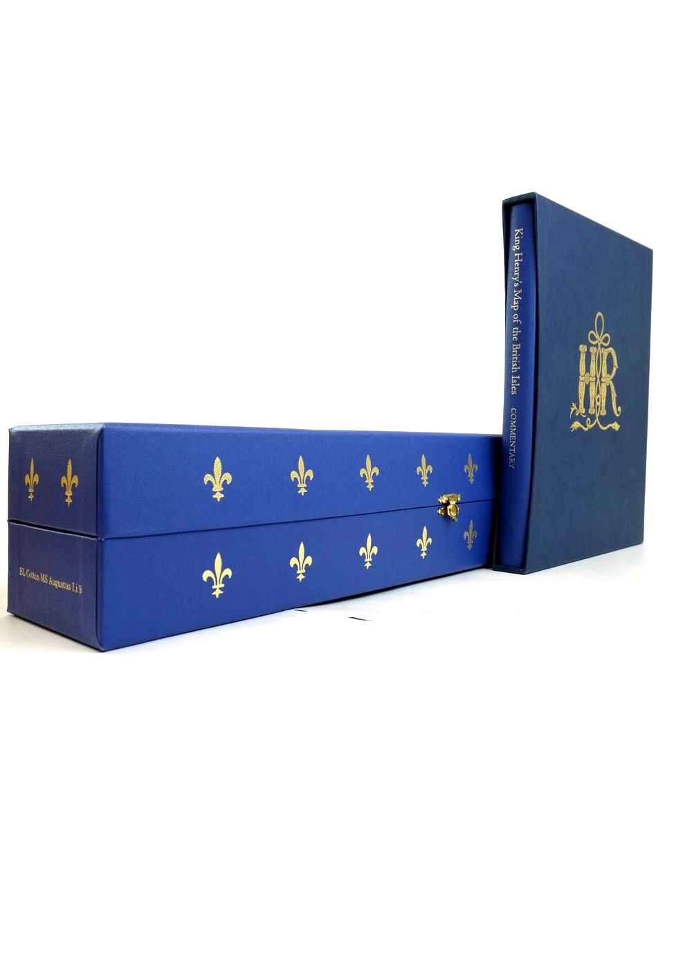
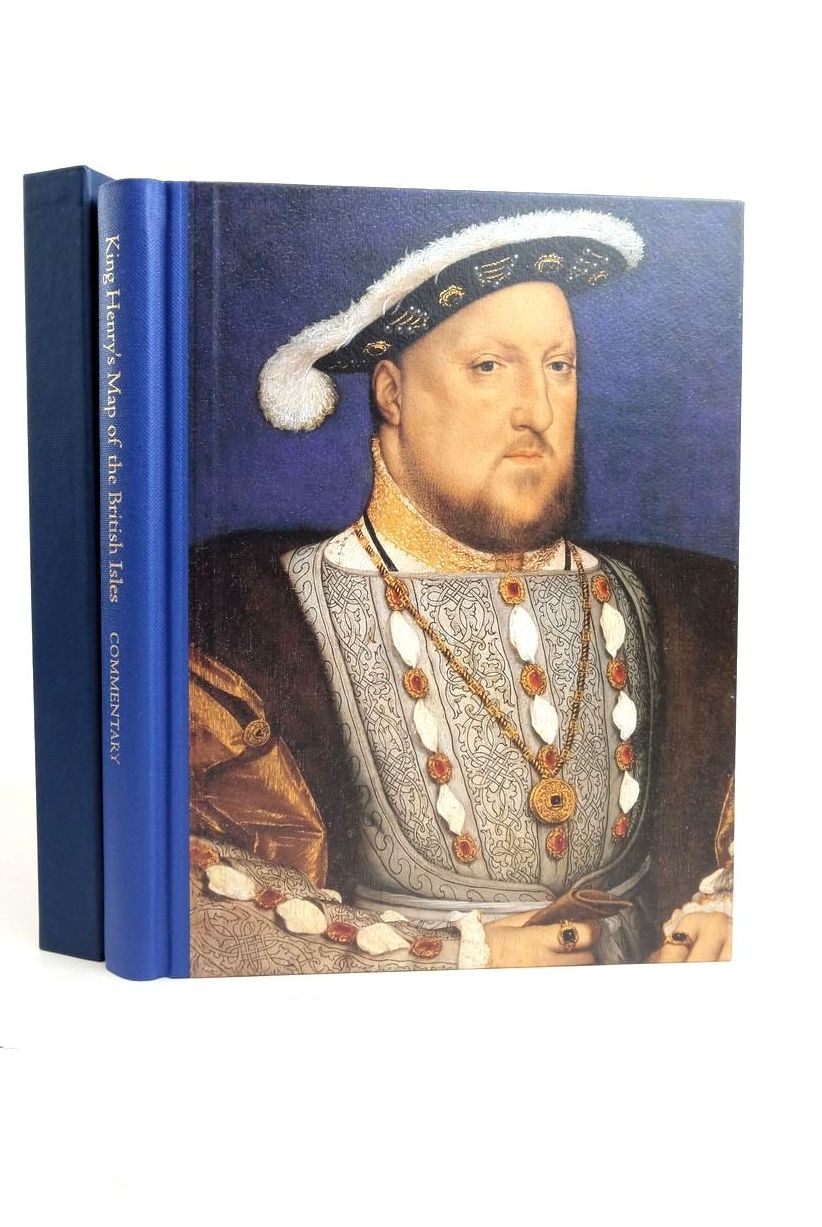
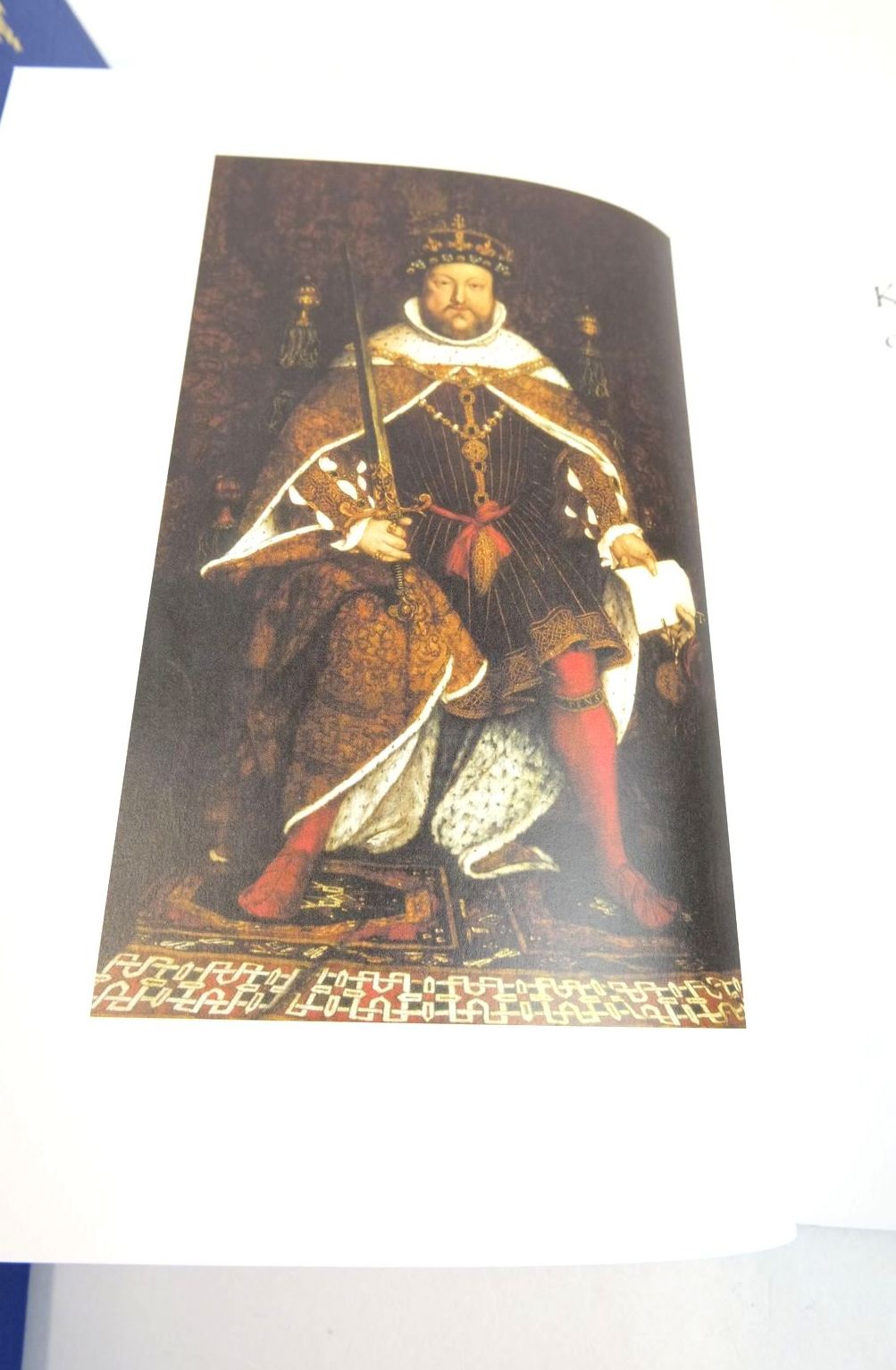


KING HENRY'S MAP OF THE BRITISH ISLES
by Peter Barber
Published by Folio Society. 2009
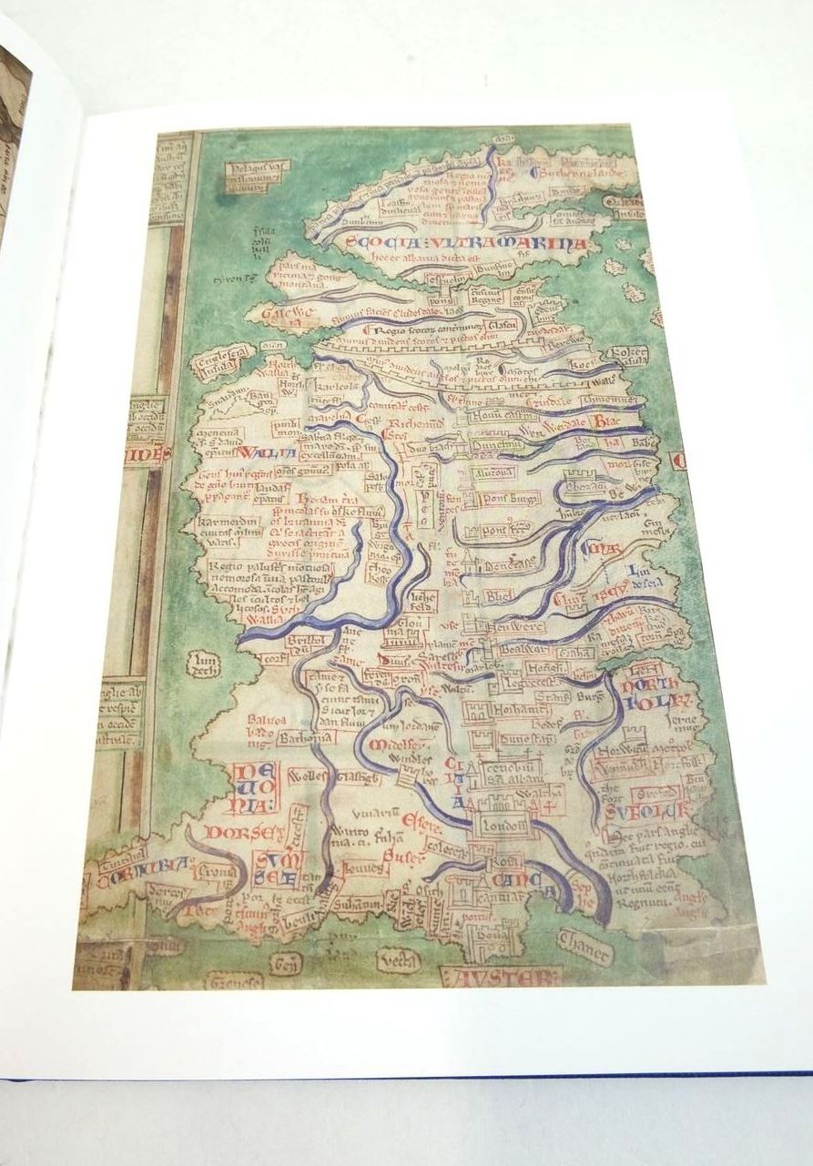
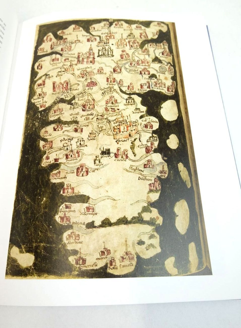
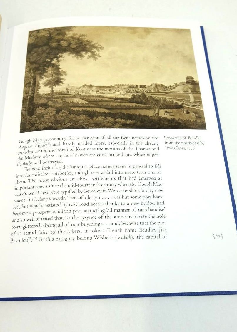
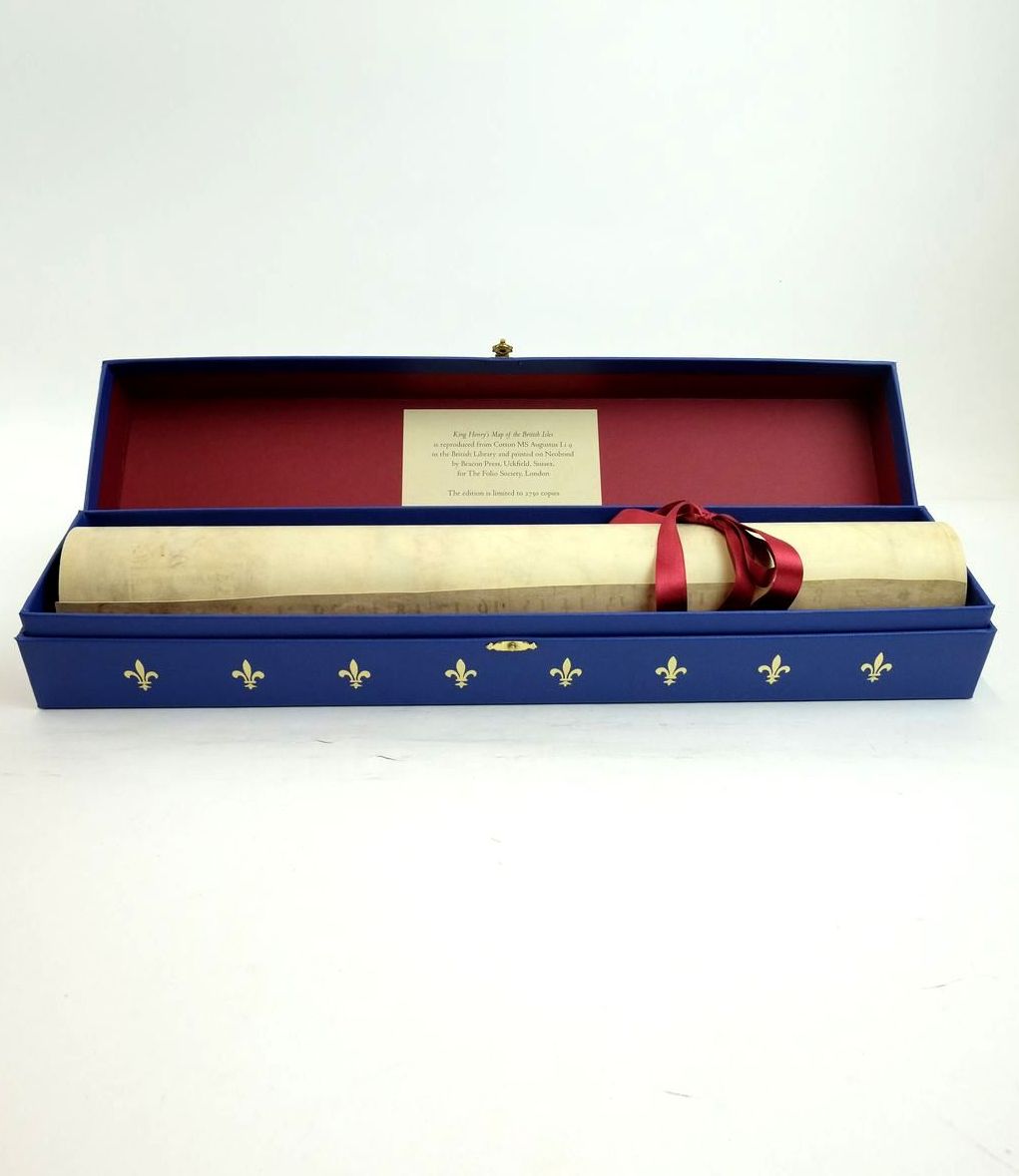
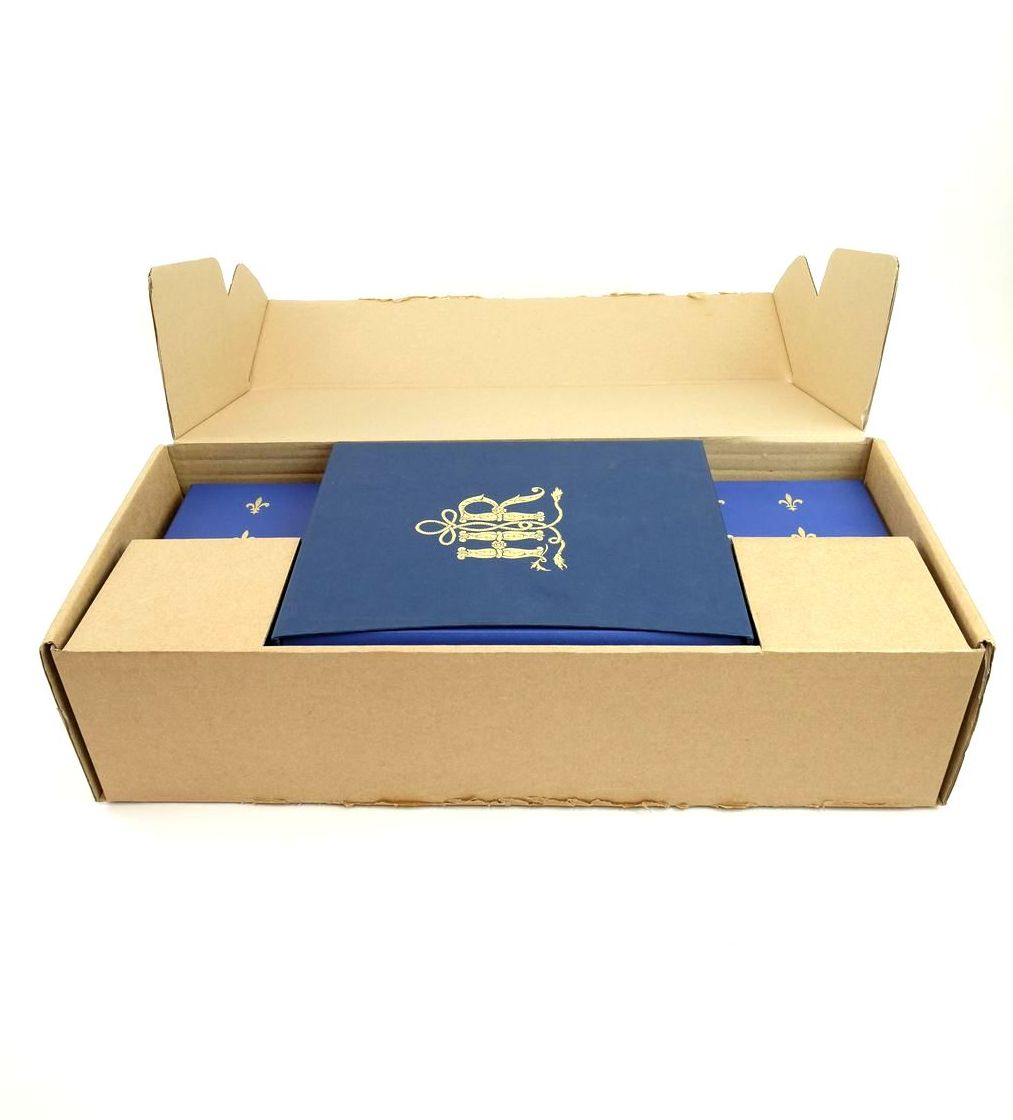
Nearly fine condition. A Superb Facsimile of the King's Personal Map. Produced by the Folio Society to commemorate the quincentenary of Henry VIII's accession. This historic map of Britain, Angliae Figura, hung on the walls of Hampton Court Palace, where its owner, King Henry VIII, would have consulted it frequently. Now a treasure of the British Library, it is the most important manuscript map of Britain created during Henry's reign. It is accompanied by a specially commissioned commentary volume by Peter Barber. This volume has a blue cloth spine with gilt titles and a colour pictorial front cover. The map is contained a magnificent map box which is blue with gilt decorations and gilt clasp. Limited to 2750 copies. The map is printed on simulated vellum and is 25.25 inches by 18.25 inches; Box size: 19 inches by 3.75 inches by 3.75 inches; Commentary: 160 pages with 48 colour illustrations.
Commentary volume in fine condition contained in publisher's slipcase which is in very good condition being a little scuffed. Map and map case in excellent condition. Contained in original Folio Society shipping box.
Stock no. 1822021