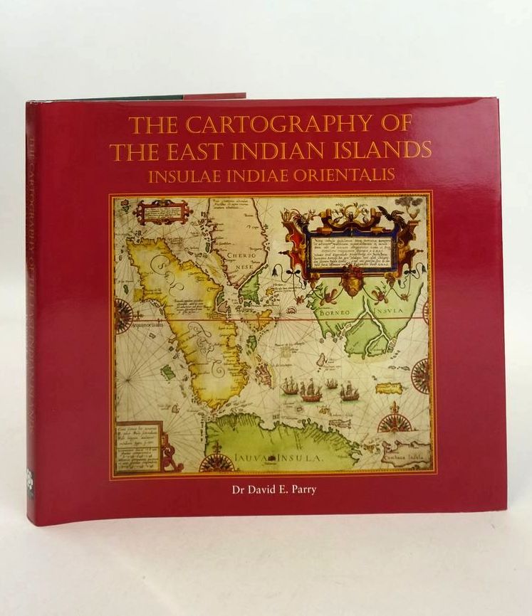
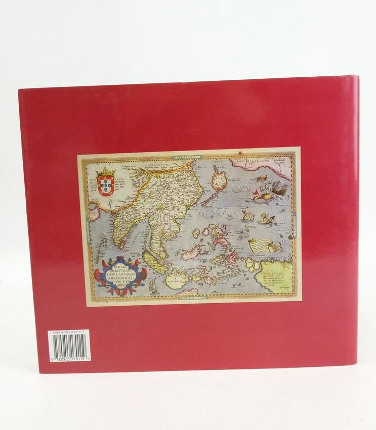
THE CARTOGRAPHY OF THE EAST INDIAN ISLANDS: INSULAE INDIAE ORIENTALIS
Published by Countrywide Editions Ltd. 1st. 2005
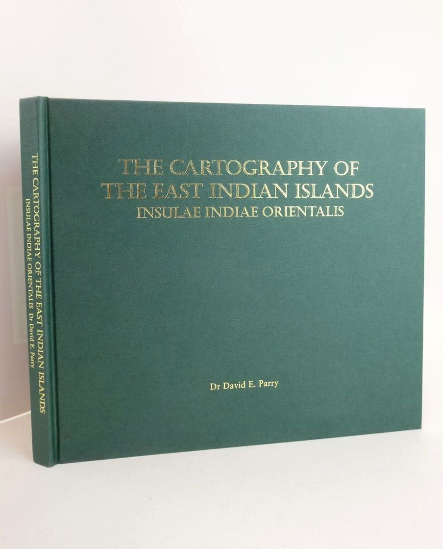
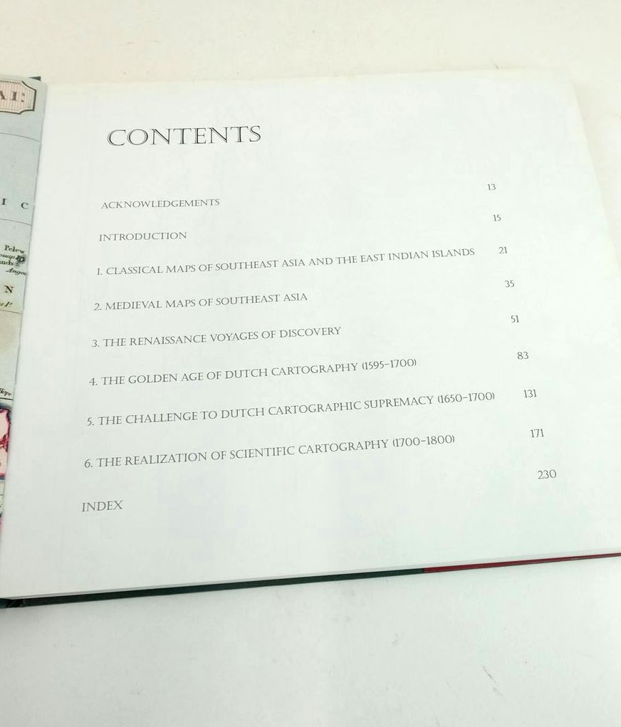
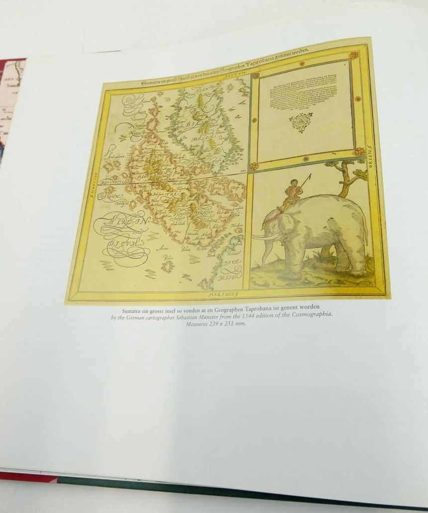
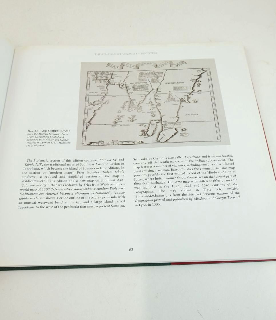
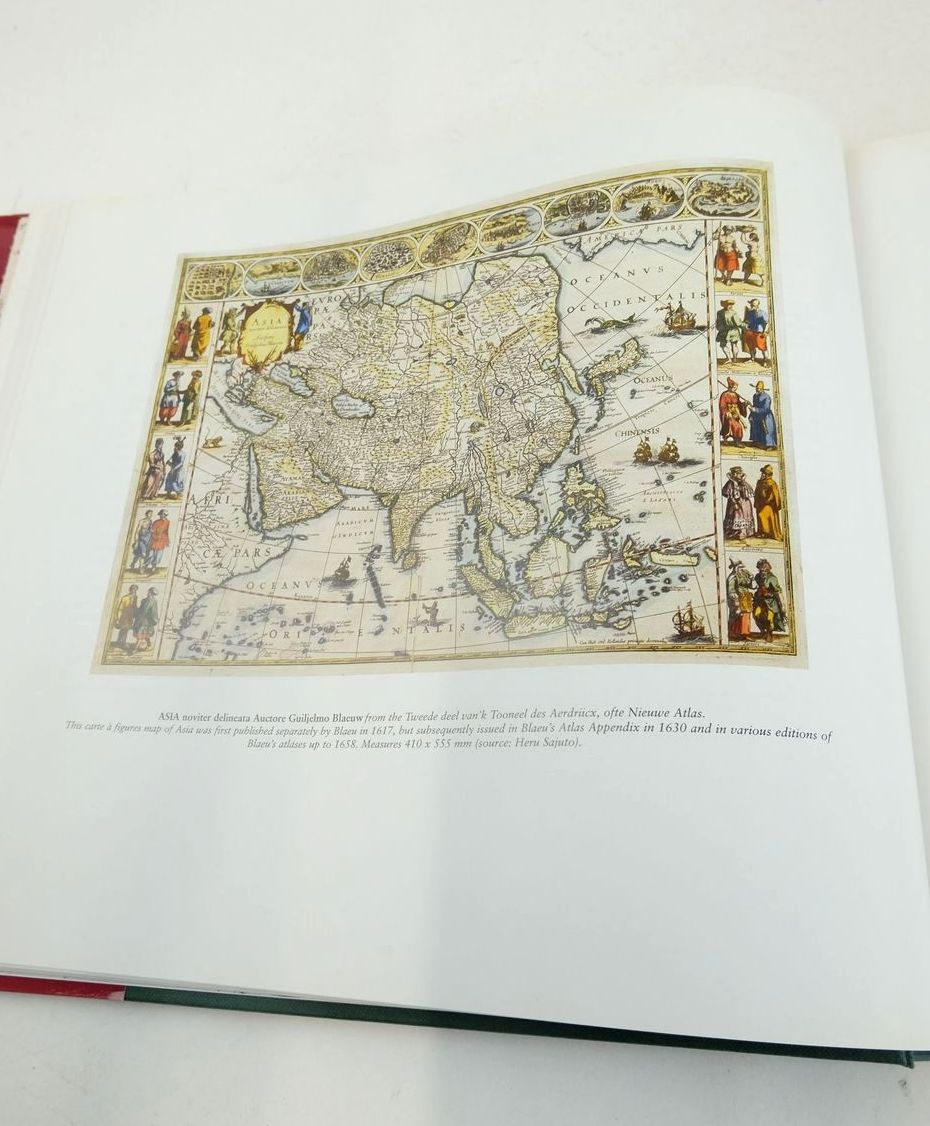
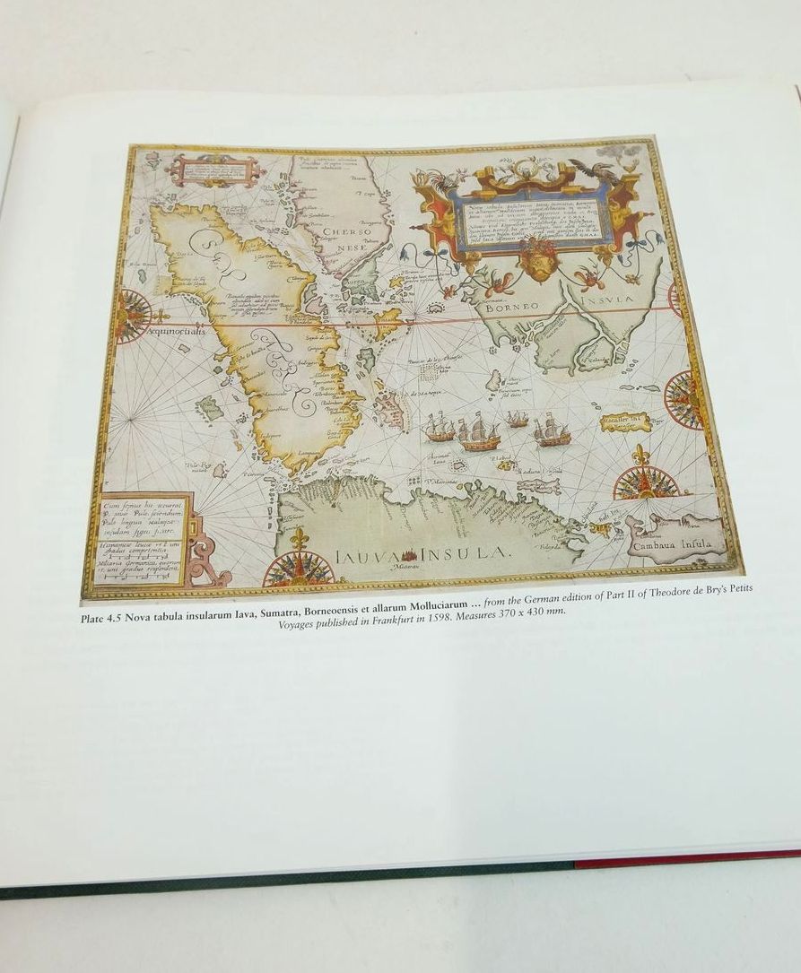
Slightly better than very good condition in a slightly better than very good dustwrapper. A guide to the cartographic history and maps of Insulae Indiae Orientalis or the East Indian Islands as the area came to be known for over three hundred years: the world's largest archipelao and the home of the fabled spice islands of the Moluccas. Large oblong format. Green cloth boards, gilt titles. Colour illustrations.
Some foxing to text block else contents clean. Red pictorial dustwrapper is lightly scuffed.
ISBN: 9780955170119
Stock no. 1826884
- Categorised in:
- HISTORY
- HISTORY (FOREIGN)
- ASIA
- INDONESIA
- CARTOGRAPHY
- MAPS


