MAP
You are viewing stock in the "MAP" category. We currently have 5 books in this category in stock.
5 stock records found. Did you know that you can now search our sold stock? Look for the 'sold stock' filter at the bottom of the filter options.
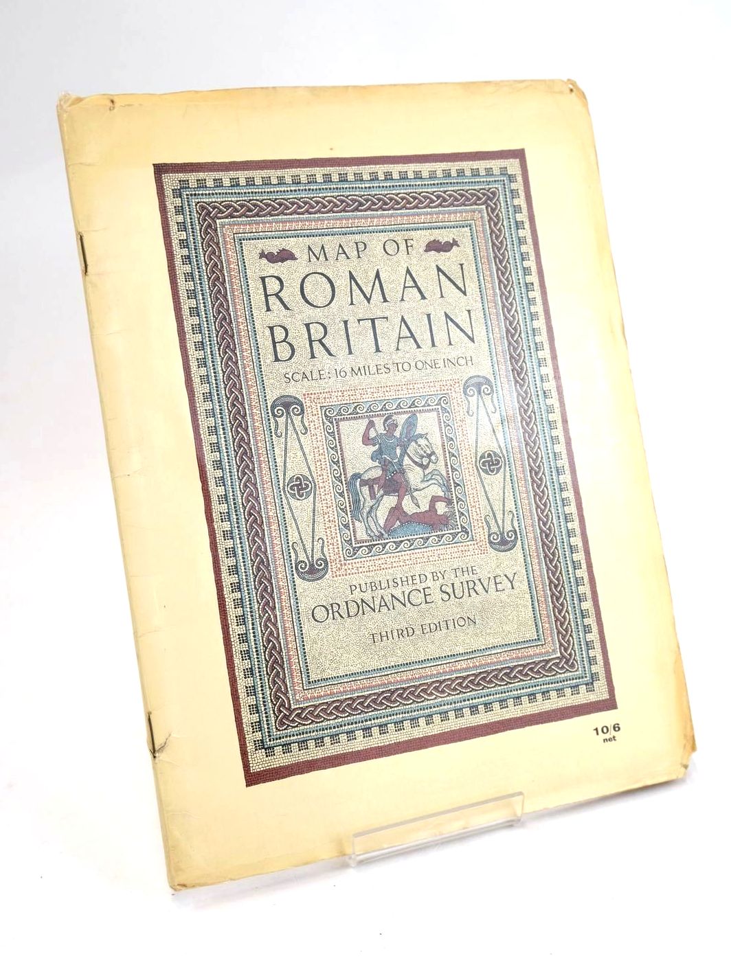
MAP OF ROMAN BRITAIN
No author listed.
Stock no. 1829411
Published by Ordnance Survey.
3rd
1956.
Almost very good condition.
Card wraps. Third Edition. 43 pages with folding colour map to rear. Scale: 16 miles to one inch. Covers lightly browned, edge-worn, small closed tear to front spine edge, a little loss to lower front corner. Name in ink crossed out to top of title page. Top corner of page 43 torn away and a little of the lower corner of same page (not affecting text). Blank verso of page 43 is spattered with different coloured paint spots and a grubby mark. Verso of map is grubby, map is a little browned especially on folds, lower half of map is grubby and has a few paint splashes near the Bristol Channel. Still a tidy working copy.
- Categorised in:
- TOPOGRAPHY (UK GENERAL)
- MAP
- HISTORY
- HISTORY (BRITISH)
- ROMAN
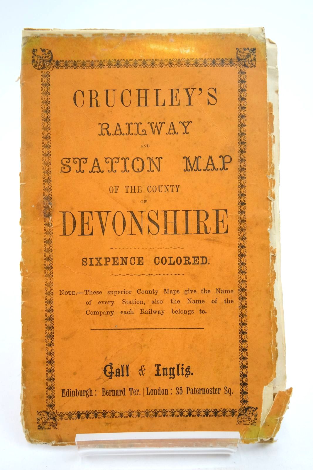
CRUCHLEY'S RAILWAY AND STATION MAP OF THE COUNTY OF DEVONSHIRE
No author listed.
Stock no. 2137680
Published by Gall & Inglis.
Fair condition.
Card wraps. Priced Sixpence. Map is creased, chipped, taped back together in places, damp marked. Foxed and fragile, with musty smell.
- Categorised in:
- TRANSPORT
- RAILWAYS
- MAP
- SOUTH WEST UK
- DEVON
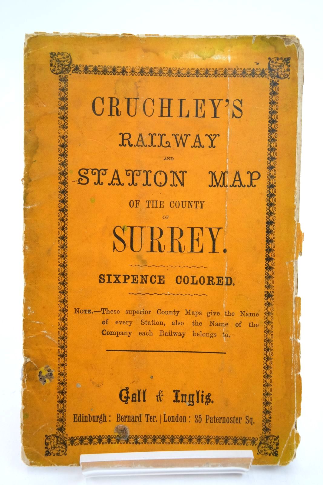
CRUCHLEY'S RAILWAY AND STATION MAP OF THE COUNTY OF SURREY
No author listed.
Stock no. 2137679
Published by Gall & Inglis.
Fair condition.
Card wraps. Priced Sixpence. Map is creased, chipped, taped back together in places, damp marked. Foxed and fragile, with musty smell.
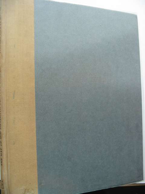
THE MAP OF MID SIXTEENTH CENTURY LONDON
Written by Stephen Powys Marks.
Stock no. 668301
Published by London Topographical Society.
1st
1964.
Very good condition.
Large format. Brown cloth spine, grey boards. 10 b/w plates. An investigation into the relationship between a copper-engraved map and its derivatives. Covers slightly marked.
- Categorised in:
- TOPOGRAPHY (UK)
- LONDON
- MAP
- HISTORY
- HISTORY (BRITISH)
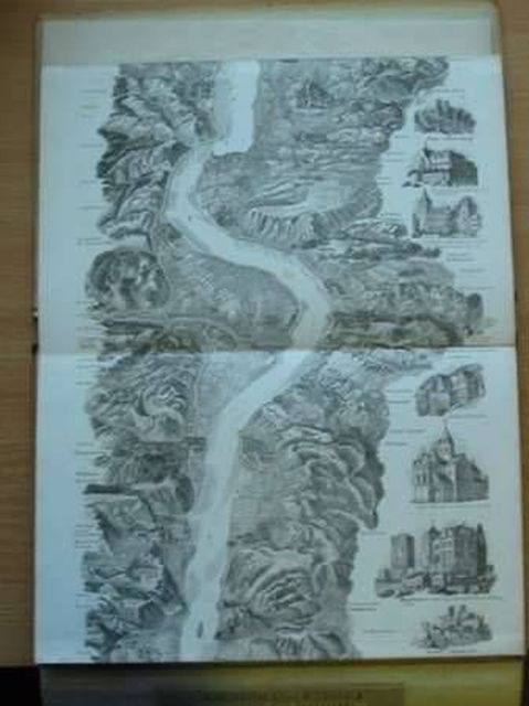
NEW PANORAMA OF THE RHINE FROM MENTZ TO COLOGNE
Written by Frederick William Delkeskamp.
Stock no. 985041
Published by F.W. Delkeskamp.
1844.
Almost very good condition.
104" b/w engraved panorama, folded concertina-style in stiff card covers. Black cloth spine. Augmented with 60 b/w marginal views. The map is in excellent condition. The corners and backstrip of the covers are worn. A stunning early panorama.
- Categorised in:
- TOPOGRAPHY (FOREIGN)
- GERMANY
- ANTIQUARIAN
- MAP


 View more images