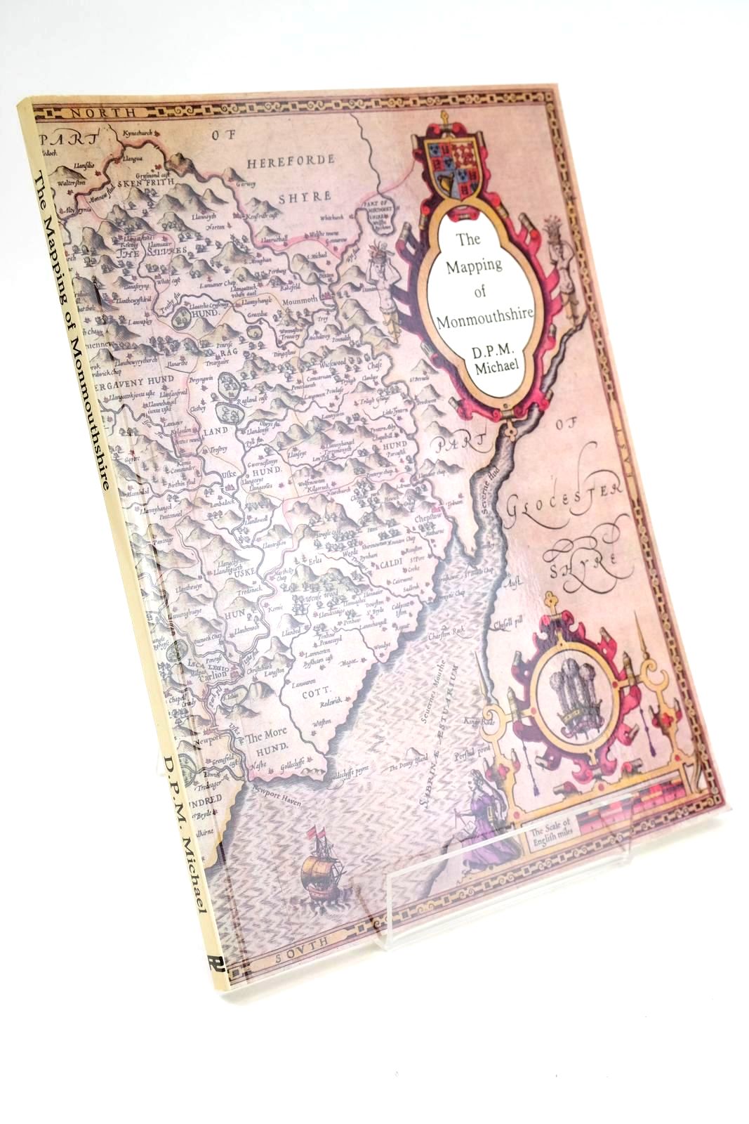


THE MAPPING OF MONMOUTHSHIRE
Published by Regional Publications. 1st. 1985
Very good condition. A descriptive catalogue of pre-Victorian Maps of the County From Saxton in 1577 with details of British Atlases published during that period. Large format, card wraps. Colour and b/w illustrations. A valuable reference work.
Some fading to spine and spine edges. Light foxing to inside covers and textblock. Small crease to lower corner of rear cover.
ISBN: 0906570182
Stock no. 1330933
- Categorised in:
- TOPOGRAPHY (UK)
- WALES
- MONMOUTHSHIRE
- MAPS
- HISTORY
- HISTORY (BRITISH)
We have 1 other copy of this book in stock.