MAPS
You are viewing stock in the "MAPS" category. We currently have 29 books in this category in stock.
29 stock records found. Did you know that you can now search our sold stock? Look for the 'sold stock' filter at the bottom of the filter options.
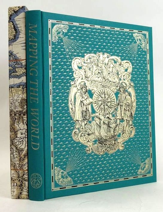
MAPPING THE WORLD: A HISTORY OF EXPLORATION
Written by Peter Whitfield.
Stock no. 1830732
Published by Folio Society.
1st thus
2000.
Nearly fine condition.
Large format. Turquoise cloth boards with an elaborate decoration in gilt to front, gilt title to spine. Brown pictorial endpapers depicting maps. Colour and b/w illustrations. 263 pages including index. A lovely copy contained in publisher's slipcase which has some minor rubbing to open corners.
- Categorised in:
- FOLIO SOCIETY
- EXPLORATION
- MAPS
- CARTOGRAPHY
LONDON: A LIFE IN MAPS
Written by Peter Whitfield.
Stock no. 1830677
Published by The British Library.
1st
2006.
Nearly fine condition.
The evolution and change of the history of London, vividly illustrated by maps that have been drawn and published over the past 500 years; a magnificent panorama of London's history focusing on its maps. Large format. Pictorial cardwraps. Colour & b/w illustrations and maps. 208 pages inlcuding index. ISBN: 9780712349192. A few minor marks to rear cover else a lovely copy.
- Categorised in:
- TOPOGRAPHY (UK)
- LONDON
- MAPS
- CARTOGRAPHY
- HISTORY
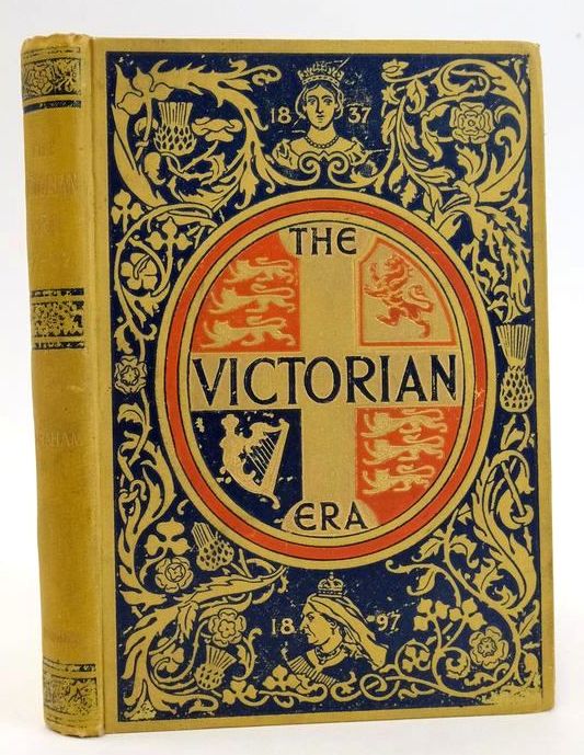
THE VICTORIAN ERA
Written by P. Anderson Graham.
Stock no. 1828463
Published by Longmans, Green & Co..
1st
1897.
Almost very good condition.
1837-1897. Mustard yellow cloth, gilt title to spine, gilt oval crest with blue title to front board. Blue floral decoration surrounding gilt crest. Map of The British Empire in 1937 and another in 1897 to front endpapers. B/w photos and illustrations. 245 pages plus 32 page publisher's advert to rear. All edges gilt. Rear board grubby and marked, spine rubbed and gilt faded. Endpapers browned. Contemporary inscription in ink to verso of front endpaper, a later inscription in ink (1924) to verso of frontis which has bled through the page to the frontis page. One or two minor foxspots to contents but generally clean and tight.
- Categorised in:
- HISTORY
- HISTORY (BRITISH)
- HISTORY (VICTORIAN)
- ANTIQUARIAN
- MAPS
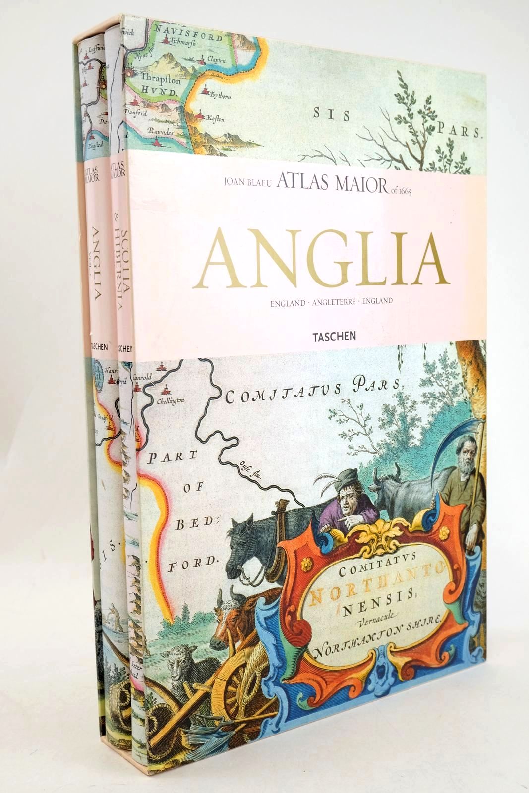
ATLAS MAIOR ANGLIA, SCOTIA & HIBERNIA (2 VOLUMES)
Written by Joan Blaeu; Peter Van Der Krogt.
Stock no. 1327827
Published by Taschen.
2006.
Very good condition in a very good dustwrapper.
The ATLAS MAIOR, the cartographical masterpiece of the Baroque, was brought out in 1662 and 1665 by the Amsterdam publisher Joan Blaeu, one of Holland's leading cartographers. Originally appearing in Latin, the atlas comprised 594 maps in 11 volumes, which depicted the whole of the world as known to early modern Europe. It was the largest and most expensive book to be published during the seventeenth century. For more than 100 years it remained the definitive atlas of the world, and today is one of the most sought-after and valuable antiquarian rarities. TASCHEN's bibliophile reprint of this costly atlas is based on the hand-colored copy with gilt highlights now in the Austrian National Library in Vienna. Alongside original quotes from Joan Blaeu relating to the individual maps, the new text by Peter van der Krogt explains the historical and cultural associations and introduces the reader to the fascinating world of early modern cartography. Veryl large, heavy format. Two volumes. Colour maps, 58 of England, 55 of Scotland and Ireland. The text is in English, French and German. Contained in pictorial slipcase. ISBN: 9783822851043. Spines are bumped. Contents are fine. Dustwrappers are very slightly edge rubbed with a tiny nick to centre of spine of volume 1.
- Categorised in:
- TOPOGRAPHY (UK)
- TOPOGRAPHY (UK GENERAL)
- MAPS
- ATLAS
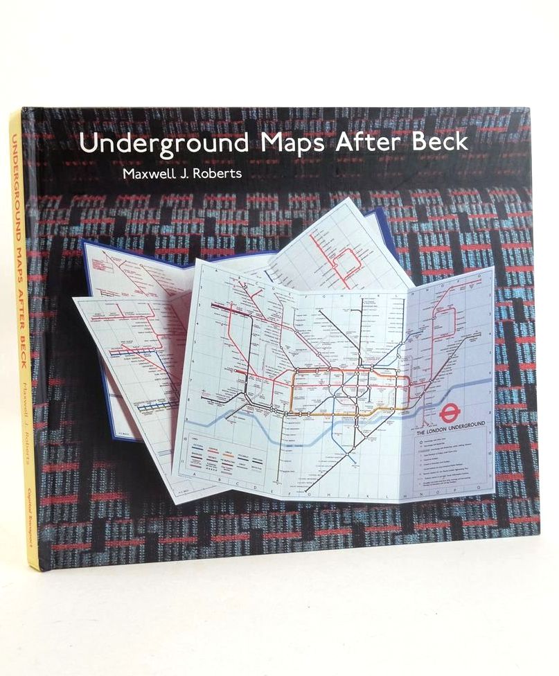
UNDERGROUND MAPS AFTER BECK
Written by Maxwell J. Roberts.
Stock no. 1827447
Published by Capital Transport.
1st
2005.
Very good condition.
The story of the London Underground map in the hands of Henry Beck's successors. Large oblong format. Matt pictorial boards. Colour maps. ISBN: 1854142860. Base of spine bumped. Remains of label to rear board. Small chip to top spine edge of rear board, approx 1cm across. Contents fine.
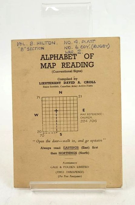
ALPHABET OF MAP READING (CONVENTIONAL SIGNS)
Written by David A. Croll.
Stock no. 1827261
Published by Gale & Polden, Ltd..
Very good condition.
Folded cardwraps creating 6 pages including title page. Black title to front. Colour pictograms are those in use in Great Britain. Annotation to top of front cover (neat). Covers a little grubby. Pictogram of Electric Transmission Line added to 'Notes' page in blue ink (neat). An interesting item.
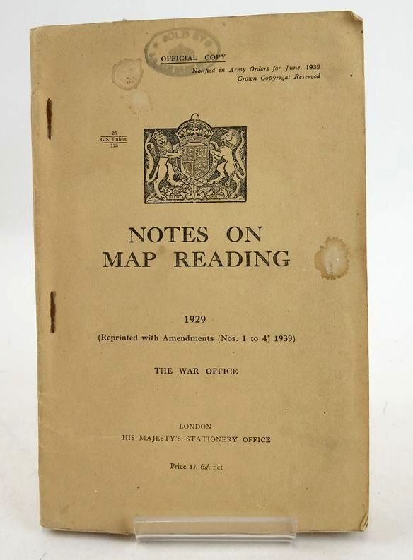
NOTES ON MAP READING 1929 (REPRINTED WITH AMENDMENTS (NOS. 1 TO 4), 1939)
No author listed.
Stock no. 1827256
Published by The War Office; His Majesty's Stationery Office.
1940.
Very good condition.
Map reading for soldiers, the object being to render possible the clear and accurate visualization of the ground. Beige paperwraps with black title to front. Staple binding. Many fold-out maps and related charts. 95 numbered pages. Covers a little grubby and stained. 'Sold by' ink stamp to top of front cover and title page. Text block browned. Contents generally clean and fold-outs in good condition (no tears).
- Categorised in:
- MILITARY
- WORLD WAR II
- MAPS
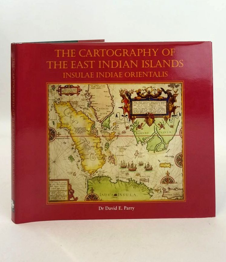
THE CARTOGRAPHY OF THE EAST INDIAN ISLANDS: INSULAE INDIAE ORIENTALIS
Written by David E. Parry.
Stock no. 1826884
Published by Countrywide Editions Ltd.
1st
2005.
Slightly better than very good condition in a slightly better than very good dustwrapper.
A guide to the cartographic history and maps of Insulae Indiae Orientalis or the East Indian Islands as the area came to be known for over three hundred years: the world's largest archipelao and the home of the fabled spice islands of the Moluccas. Large oblong format. Green cloth boards, gilt titles. Colour illustrations. ISBN: 9780955170119. Some foxing to text block else contents clean. Red pictorial dustwrapper is lightly scuffed.
- Categorised in:
- HISTORY
- HISTORY (FOREIGN)
- ASIA
- INDONESIA
- CARTOGRAPHY
- MAPS
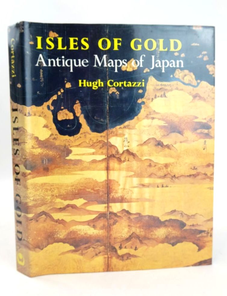
ISLES OF GOLD: ANTIQUE MAPS OF JAPAN
Written by Hugh Cortazzi.
Stock no. 1826342
Published by John Weatherhill.
1st
1983.
Slightly better than very good condition in a nearly fine dustwrapper.
A selection of over 90 of the most attractive, remarkable, and historically significant European and Japanese maps of Japan. Brown cloth boards, gilt title to spine and vignette to front. Colour maps, some folding. ISBN: 0834801841. Foxing to text block, contents clean. SIGNED by the author (no dedication) to half-title page. Pictorial dustwrapper is lightly scuffed.
- Categorised in:
- TOPOGRAPHY (FOREIGN)
- HISTORY (FOREIGN)
- ASIA
- JAPAN
- MAPS
- CARTOGRAPHY
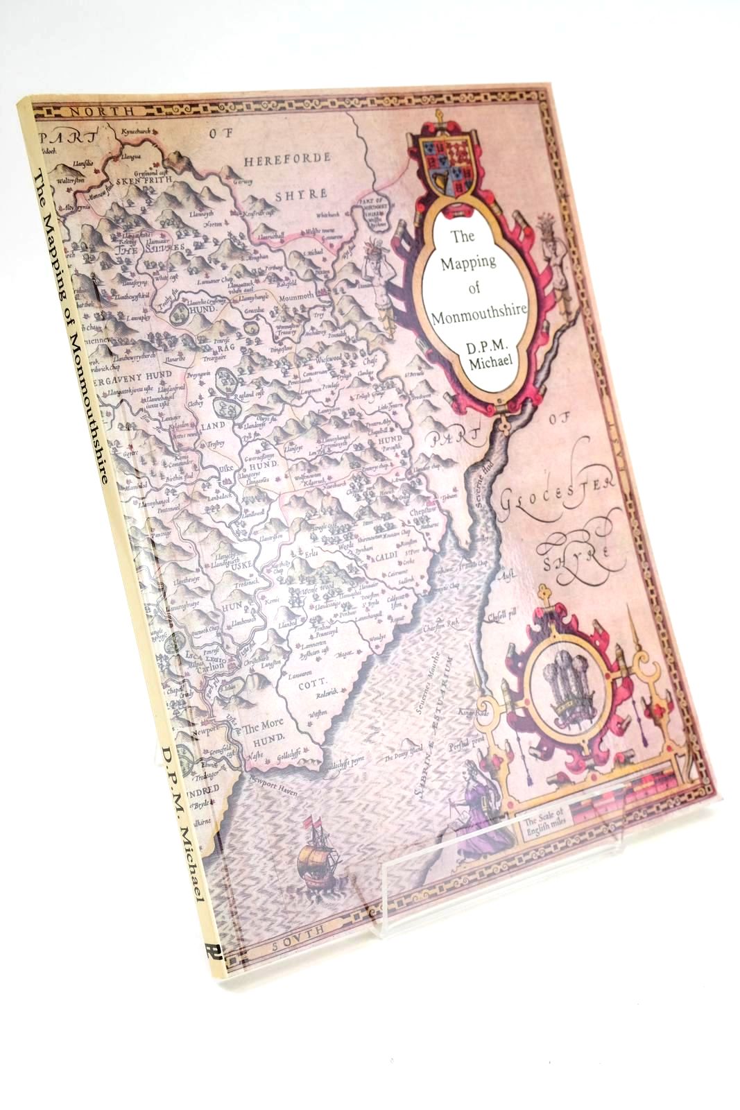
THE MAPPING OF MONMOUTHSHIRE
Written by D.P.M. Michael.
Stock no. 1324177
Published by Regional Publications.
1st
1985.
Very good condition.
A descriptive catalogue of pre-Victorian Maps of the County From Saxton in 1577 with details of British Atlases published during that period. Card wraps. Colour and b/w illustrations. A valuable reference work. ISBN: 0906570182. Slight browning to spine and cover edges. Contents clean.
- Categorised in:
- TOPOGRAPHY (UK)
- WALES
- MONMOUTHSHIRE
- MAPS
- HISTORY
- HISTORY (BRITISH)
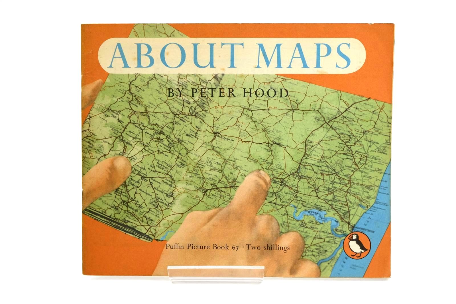
ABOUT MAPS
Written by Peter Hood.
Illustrated by Peter Hood.
Stock no. 1323332
Published by Penguin Books Ltd.
1st
1950.
Very good condition.
Pictorial paperwraps. Puffin Picture Book No. 67. Colour and b/w illustrations. Slight foxing to covers and to first few and last few pages.
- Categorised in:
- CHILDRENS
- PUFFIN PICTURE BOOK
- MAPS
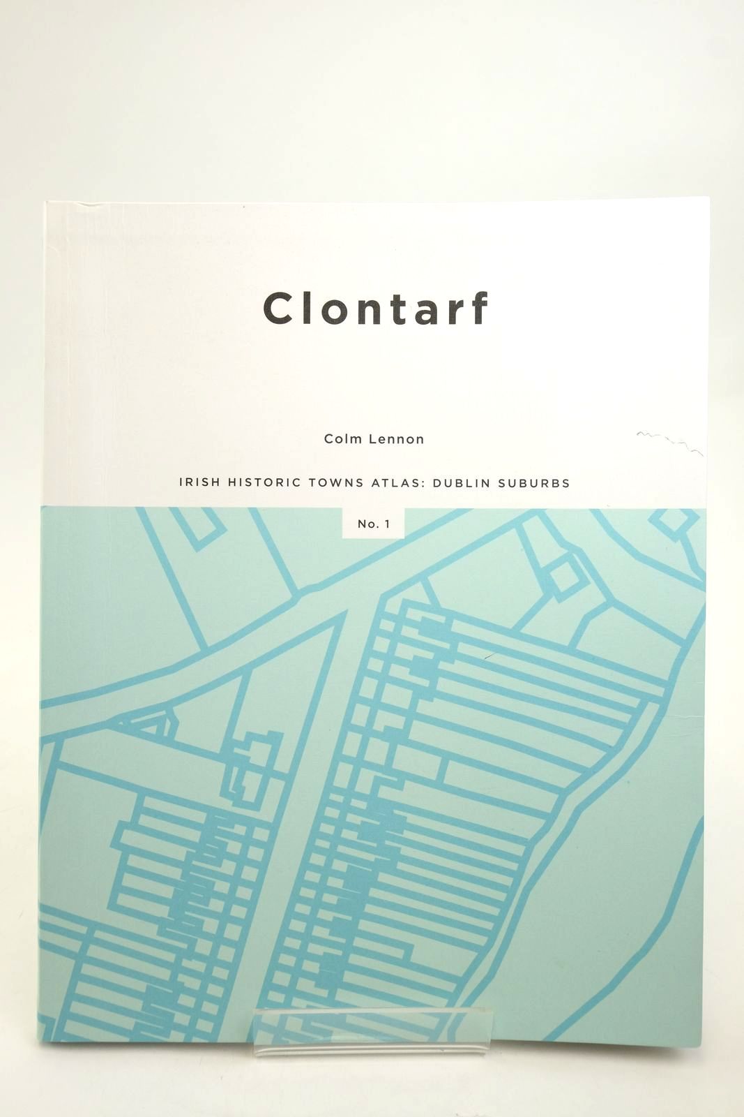
CLONTARF: IRISH HISTORIC TOWNS ATLAS: DUBLIN SUBURBS No. 1
Written by Colm Lennon; et al.
Stock no. 2140960
Published by Royal Irish Academy.
1st IRELAND
2018.
Very good condition.
Large format. Card wraps. B/w and colour maps and illustrations. ISBN: 9781908997722. Creasing to covers with pencil mark to front cover; bumping to corners. Contents are still excellent!
- Categorised in:
- TOPOGRAPHY (UK GENERAL)
- MAPS
- TOPOGRAPHY (FOREIGN)
- IRELAND
- CARTOGRAPHY
- HISTORY
- HISTORY GENERAL



 View more images
 View more images
 View more images
