Stella and Rose's Books Logo

Stella & Rose's Books

Specialists in Rare & Collectable Books

34 stock records found. Did you know that you can now search our sold stock? Look for the 'sold stock' filter at the bottom of the filter options.

THE BOOK OF BRITISH VICTORIES No. 1 - EXPLOITS ON THE SEA
Written by Sydney Walton.
Stock no. 1823578
Published by The Syndicate Publishing Co.. Circa 1914. Almost very good condition.

Title on front is: 1588 to 1914 Album-Atlas of British Victories on the Sea "Wooden Walls to Super-Dreadnoughts". Paper covered boards, Cloth spine. Maps of british victories from 1588 (Spanish Armada) to 1855 (wars with Russia). B/w photos and illustrations. 31 pages including inside rear cover. Boards discoloured, rubbed at edges. Two names in pencil to inside front cover 'Signatures of the Brave'. Binding is a little loose with small tear to rear gutter edge of spine. Contents lightly browned with minor foxing.

Buy now for £18.00 Add to Wish List

MANCHESTER: MAPPING THE CITY
Written by Terry Wyke; Brian Robson; Martin Dodge.
Stock no. 1822304
Published by Birlinn Limited. 1st 2018. Fine condition in a slightly better than very good dustwrapper.

Manchester is one of the world's most iconic cities. Not only was it the first industrial city, it can also claim to be the first post-industrial city. The historic maps and unpublished plans in this book chart the dramatic growth and transformation of Manchester and its conurbation. Large format. Black boards, gilt title to spine. Colour & b/w maps throughout. ISBN: 9781780275307. A fine copy. Pictorial dustwrapper is lightly rubbed at edges and very slightly grubby.

Buy now for £50.00 Add to Wish List

ATLAS MAIOR ANGLIA, SCOTIA & HIBERNIA (2 VOLUMES)
Written by Joan Blaeu; Peter Van Der Krogt.
Stock no. 1821734
Published by Taschen. 1st thus 2006. Nearly fine condition in a nearly fine dustwrapper.

The ATLAS MAIOR, the cartographical masterpiece of the Baroque, was brought out in 1662 and 1665 by the Amsterdam publisher Joan Blaeu, one of Holland's leading cartographers. Originally appearing in Latin, the atlas comprised 594 maps in 11 volumes, which depicted the whole of the world as known to early modern Europe. It was the largest and most expensive book to be published during the seventeenth century. For more than 100 years it remained the definitive atlas of the world, and today is one of the most sought-after and valuable antiquarian rarities. TASCHEN's bibliophile reprint of this costly atlas is based on the hand-colored copy with gilt highlights now in the Austrian National Library in Vienna. Alongside original quotes from Joan Blaeu relating to the individual maps, the new text by Peter van der Krogt explains the historical and cultural associations and introduces the reader to the fascinating world of early modern cartography. Veryl large, heavy format. Two volumes. Colour maps, 58 of England, 55 of Scotland and Ireland. The text is in English, French and German. Contained in pictorial slipcase. ISBN: 9783822851043. Light bumping to top & tail of spines and light scuffing to boards. Dustwrappers have minor rubbing to corners. A lovely set contained in publisher's slipcase in almost fine condition.

Buy now for £40.00 Add to Wish List

MAPPING THE RAILWAYS
Written by Julian Holland; David Spaven.
Stock no. 2133557
Published by Collins. 1st thus 2013. Very good condition.

Large format. Pictorial cardwraps. Colour photos and maps. The journey of Britain's railways through maps from 1819 to the present day. ISBN: 9780007506491. Cover corners are creased. Brown/sticky residue and some indentation marks to top corner of front cover, where a sticky label has been removed.

Buy now for £12.00 Add to Wish List

THE OFFICIAL MILITARY ATLAS OF THE CIVIL WAR
Written by George B. Davis; Leslie J. Perry; Joseph W. Kirkley.
Stock no. 1819497
Published by Gramercy Books. Nearly fine condition in a very good dustwrapper.

Originally printed in 1891-1895. Bound in one volume in this facsimile. 821 maps, 106 engravings, and 209 drawings. Very large format. Red cloth, gilt title to spine. ISBN: 0517415666. 6th printing. Couple of nicks to lower edge of rear board. Contents fine. Red pictorial dustwrapper is scuffed and slightly faded to spine, rear panel a little grubby and a small indentation to center which also falls on to rear board.

Buy now for £100.00 Add to Wish List

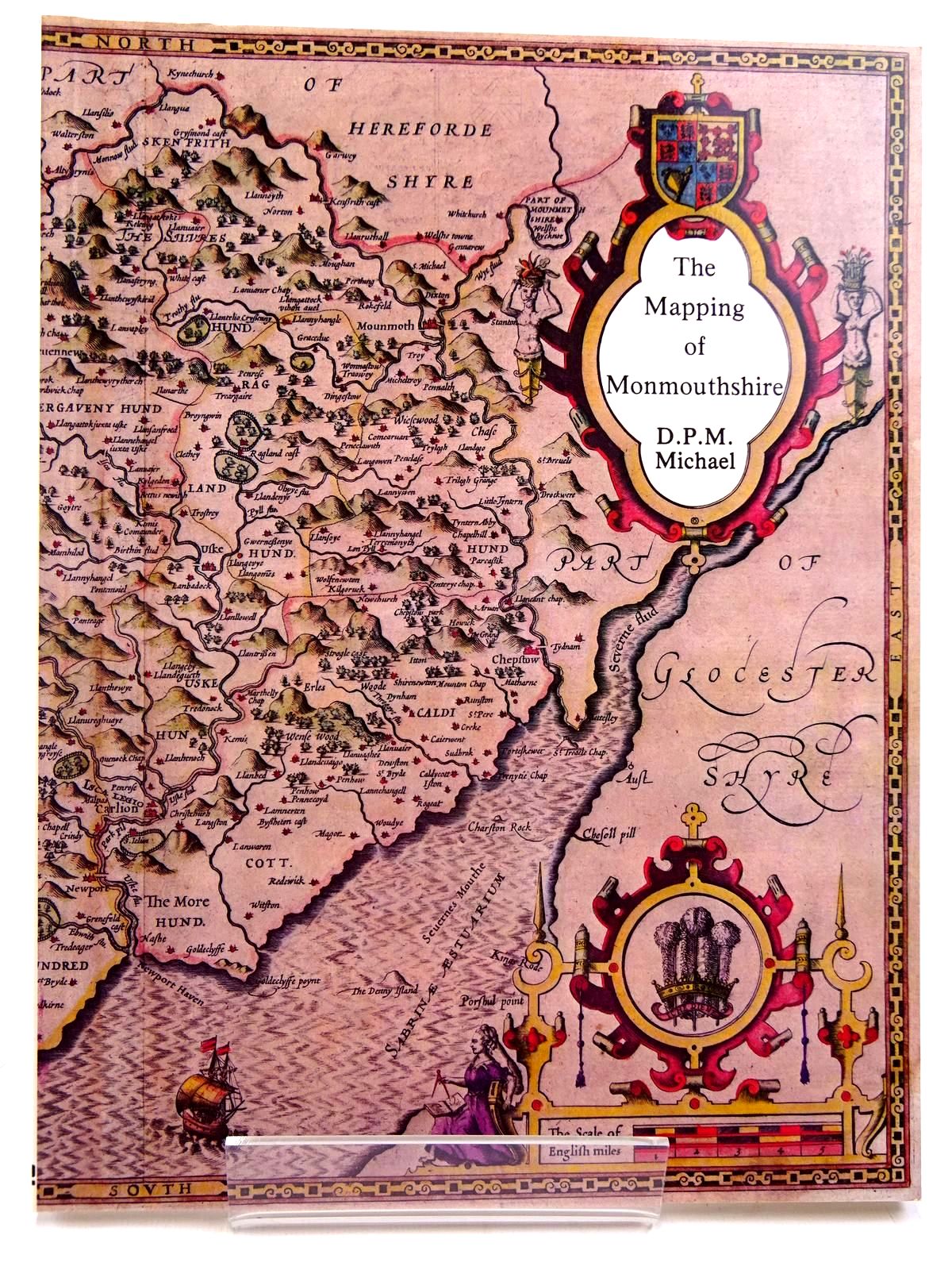
THE MAPPING OF MONMOUTHSHIRE
Written by D.P.M. Michael.
Stock no. 2131080
Published by Regional Publications. 1st 1985. Nearly fine condition.

A descriptive catalogue of pre-Victorian Maps of the County From Saxton in 1577 with details of British Atlases published during that period. Card wraps. Colour and b/w illustrations. A valuable reference work. ISBN: 0906570182.

Buy now for £18.00 Add to Wish List

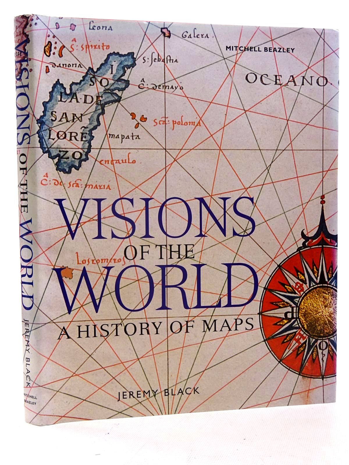
VISIONS OF THE WORLD A HISTORY OF MAPS
Written by Jeremy Black.
Stock no. 2125898
Published by Mitchell Beazley. 2005. Slightly better than very good condition in a slightly better than very good dustwrapper.

Large format. Colour photos and illustrations. ISBN: 1840008342. Wrapper is faded to spine and a couple of edges; a little edge-creasing.

Buy now for £16.00 Add to Wish List

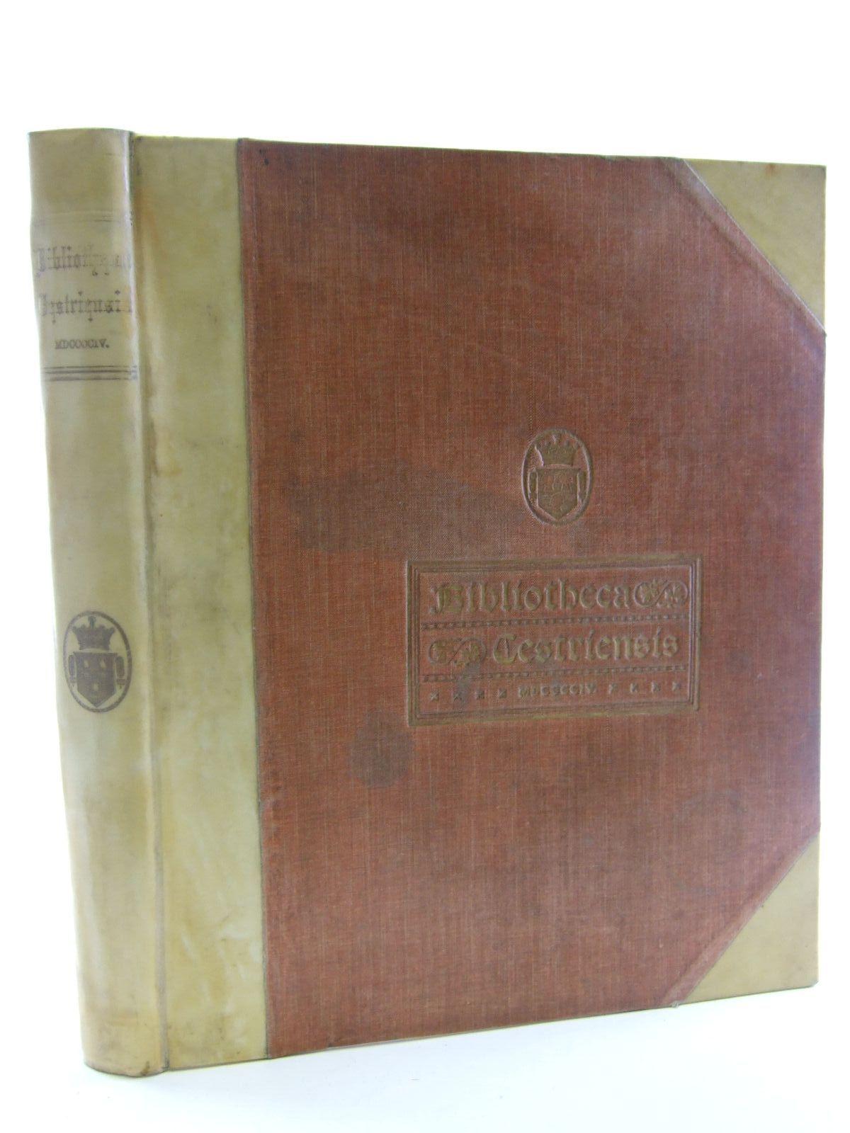
BIBLIOTHECA CESTRIENSIS
Written by John H. Cooke.
Stock no. 2106650
Published by Mackie & Co. Limited. 1904. Very good condition.

Or a biographical account of books, maps, plates and other printed matter relating to, printed or published in, or written by authors resident in the county of Chester. Illustrated with views of old halls in Cheshire. Compiled by Cooke. Large format. Limited to 200 copies. Some wear to covers; a little scuffing and bumping, damp marking to rear cover, with bad wear to top edge. Copy no. 100 (Royal quarto). Some grubby margin marks and a couple of pages have small nicks to edges.

Buy now for £350.00 Add to Wish List

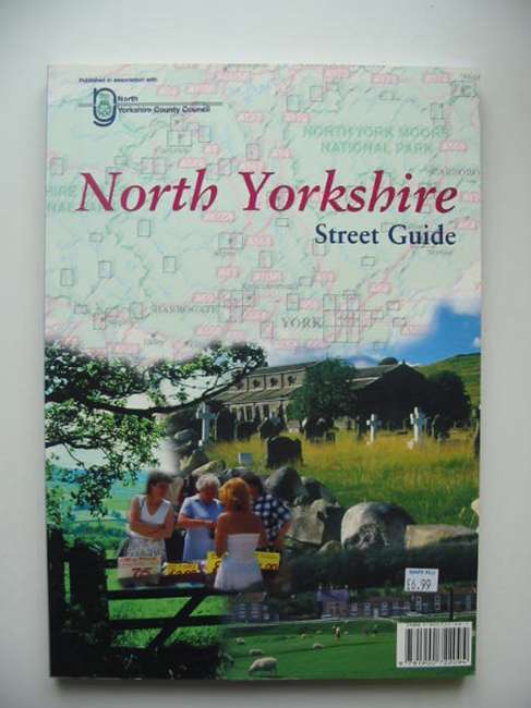
NORTH YORKSHIRE STREET GUIDE
No author listed.
Stock no. 821368
Published by Arrow Publishing. Circa 1999. Nearly fine condition.

Large format. Card wraps. ISBN: 1900722097.

Buy now for £10.00 Add to Wish List

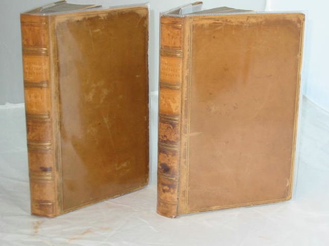
COMPENDIUM OF ANCIENT GEOGRAPHY (2 VOLUMES)
Written by M. D'Anville.
Stock no. 570195
Published by J. Faulder. 1810. Almost very good condition.

Two volumes. Full brown calf binding, raised bands to spine. Gilt borders. Marbled endpapers and edges. xxxi + 446; 439 pages. 10 folding b/w maps including one of Roman Britain. Maps lightly browned. Contents very good. Front cover of Volume II is detached. Boards are a little scuffed. Titles labels are missing from spine. REDUCED FROM £400.

Buy now for £300.00 Add to Wish List